Friendly by name. Field-ready by nature.

Fleet & systems

A connected field kit, built one honest step at a time.

Aircraft are only one part of the system. Sky Pals is developing an integrated collection of aerial platforms, positioning equipment, field tools, software, and verification workflows.

Current systems

In the kit today.

Equipment currently available for appropriate assignments, used within the limits of each project, site, and operating condition.

Current system

Lightweight UAS platform

DJI Mini 3 Pro

A compact current aircraft suited to visual documentation and operations where a small footprint is an advantage.

  • Roof and property imagery
  • Site-overview photography
  • Visual documentation
  • Lightweight aerial data collection
Current system

Ground collection tools

Field documentation kit

Practical measurement and documentation tools that support structured, client-specific field workflows.

  • Field measurements
  • Structured photography
  • Site observations
  • Project notes and sketches
Planned fleet addition

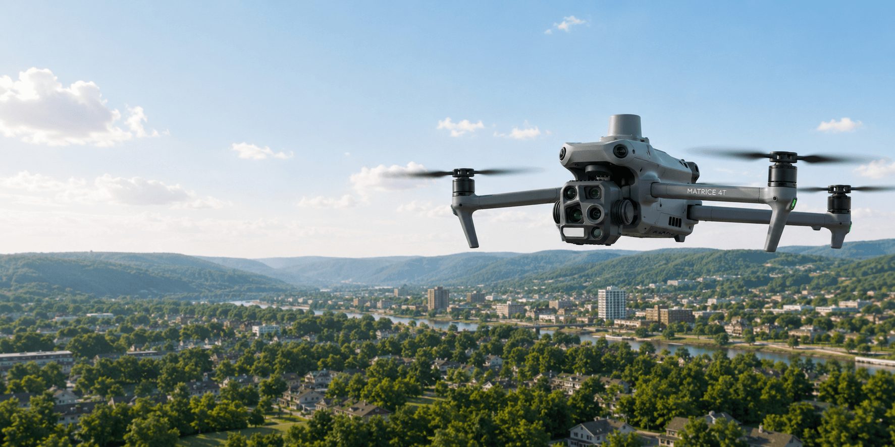
DJI Matrice 4T

This enterprise aircraft is part of the planned systems expansion. It is intended to support thermal data collection, detailed visual inspection, zoom-assisted documentation, low-light operations, mapping, and increasingly complex commercial missions.

Not currently in the active fleet. Availability will only be stated after the system is acquired, integrated, and ready for operational use.

Concept view of the DJI Matrice 4T planned for future Sky Pals systems expansion

Building next

Enterprise UAS platform

Developing geospatial capability

Air, ground, control, and verification.

The planned system is designed as a connected workflow—not a shopping list. Positioning equipment and known ground references help relate aerial data to the site and make repeat visits more consistent.

Planned system

Planned ground positioning system

RTK / GNSS positioning

Ground equipment intended to support accurate field positioning, control points, check points, and repeatable site references.

  • GNSS rover and survey pole
  • RTK correction workflows
  • Ground-control equipment
  • Repeatable field positioning
Planned system

Planned mapping support

Ground control & verification

Known reference points on the ground can help a project team understand where mapped data sits and verify repeatability between visits.

  • Ground-control points
  • Independent check points
  • Positioning verification
  • Repeatable site references
Planned system

Expandable workflow layer

Field computing & software

An intentionally open system for future mission planning, photogrammetry, GIS, field-data, and project-delivery tools as they are confirmed.

  • Mission-planning tools
  • Photogrammetry workflows
  • GIS and field applications
  • Project-delivery systems

Why ground control matters

Marked points with known positions give mapping workflows anchors on the ground. Check points offer a separate way to review how well the finished data lines up. In plain language: they help a project team place more confidence in where things are and whether repeated collections agree.

Expansion stays grounded in actual readiness.

  • Specific equipment is named only when selected.
  • Software is listed only after it enters active use.
  • Planned systems remain clearly labeled until deployable.

Need to confirm equipment fit?

Send the mission profile and required outputs. Sky Pals will respond based on the current operational kit—not the future one.